This is a brief guide to using the Architects’ and Engineers’ Plans [Y/PPT/6] held in the York Civic Archive at Explore York Libraries & Archives.
This collection comprises over 10,000 drawings covering all aspects of York’s built environment including: civic buildings, housing, bridges, sewers, parks, transport, the city walls, street improvements and more. Many of the drawings are works of art in themselves; others offer a new perspective on the city.
Dating from 1803 to the 2000s the plans provide a unique resource for charting the changes to York’s architectural heritage over two centuries. All the plans in this collection are of buildings, structures or schemes that were owned, controlled, or in some way connected to the York City Council and its predecessor bodies. Many of the plans are ‘presentation copies’, drawings that were produced to promote or present a particular scheme. But the collection also includes drafts, sketches and working drawings, and a large number of plans are annotated.
Included in the collection are plans of buildings and streets that no longer exist as well as ideas for York that never materialised. Most of York’s well-known civic buildings and structures are also represented.
Additional finding aids and contextual documentation for this collection are available in the Reading Room.
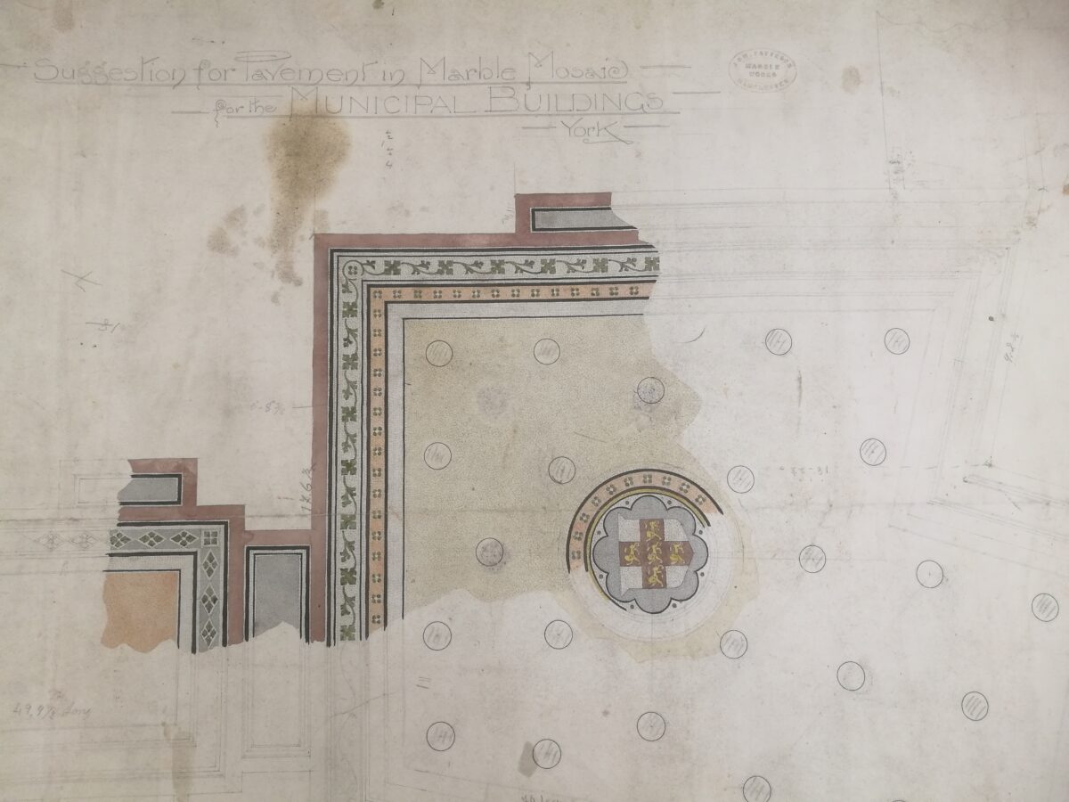
- Y/PPT/6/1 – Property and housing Includes plans of civic and private buildings, parks, recreation grounds and facilities, social housing, and other property that the City of York Council and its predecessor bodies either owned or had an interest in.
- Y/PTT/6/2 – Transport and bridges Comprises plans relating to public transport (including trams) improvements to river navigation (including canals and locks) and bridge plans (including structural drawings).
- Y/PPT/6/3 – Street improvements and clearances Comprises plans of proposed new streets and roads, street widenings, changes in street layout, street resurfacing, changes to street furniture, and slum clearances.
- Y/PPT/6/4 – sewerage, ultilites and drainage Comprises plans relating to the construction and maintenance of sewers, culverts, and drainage pipes and to the installation of infrastructre for utiliites, such as gas and electricity.
- Y/PPT/6/5 – Boundary and other plans Comprises boundary plans of York (including plans for changes to municipal and electoral boundaries), plans of strays, parishes and other plans/maps of the York area. Also includes templates for signage.
Our archive collections can be searched and browsed on the archive catalogue: https://archives.exploreyork.org.uk/index.php/
You can find more information on how to search the archive catalogue on the ‘How to Search’ webpage: https://archives.exploreyork.org.uk/how-to-search
To book an appointment to access our archive collections and find details of our opening times and how to book an appointment, please refer to our ‘Visiting us’ webpage: https://exploreyork.org.uk/archives/visiting-us/
- Brooke Fieldhouse, John. ‘Architecture York: Twentieth Century Plus’, Market Harborough: Matador, 2022 [Shelf mark: 720.9428 ART]
- Gee, Eric A. ‘The Architecture of York’, York: Cerialis Press, 1979 [Shelf mark: 720.942843(Y) ART]
- Nuttgens, ‘Patrick. York the Continuing City, London: Faber, 1976 [Shelf mark: 720.942843(Y) ART]
- Pevsner, Nikolaus. ‘Yorkshire : York and the East Riding’, 2nd ed. London : Penguin, 1995 [Shelf mark: 720.9428(Y)]
- Rodgers, John. ‘York’, B.T. Batsford Ltd., 1951 [Shelf mark: Y942.74]
Our local history and special collections can be searched and browsed using our library catalogue: https://catalogue.exploreyork.org.uk/client/en_GB/default/
- The University of York ‘York C20: An Architectual Gazeteer of Twentieth Century York’ inlcudes an article on the work of the City Architect: https://www.yorkc20.york.ac.uk/